Our
Projects
Implementation of Ground Penetrating Radar (GPR) in Western Australia
Project Overview
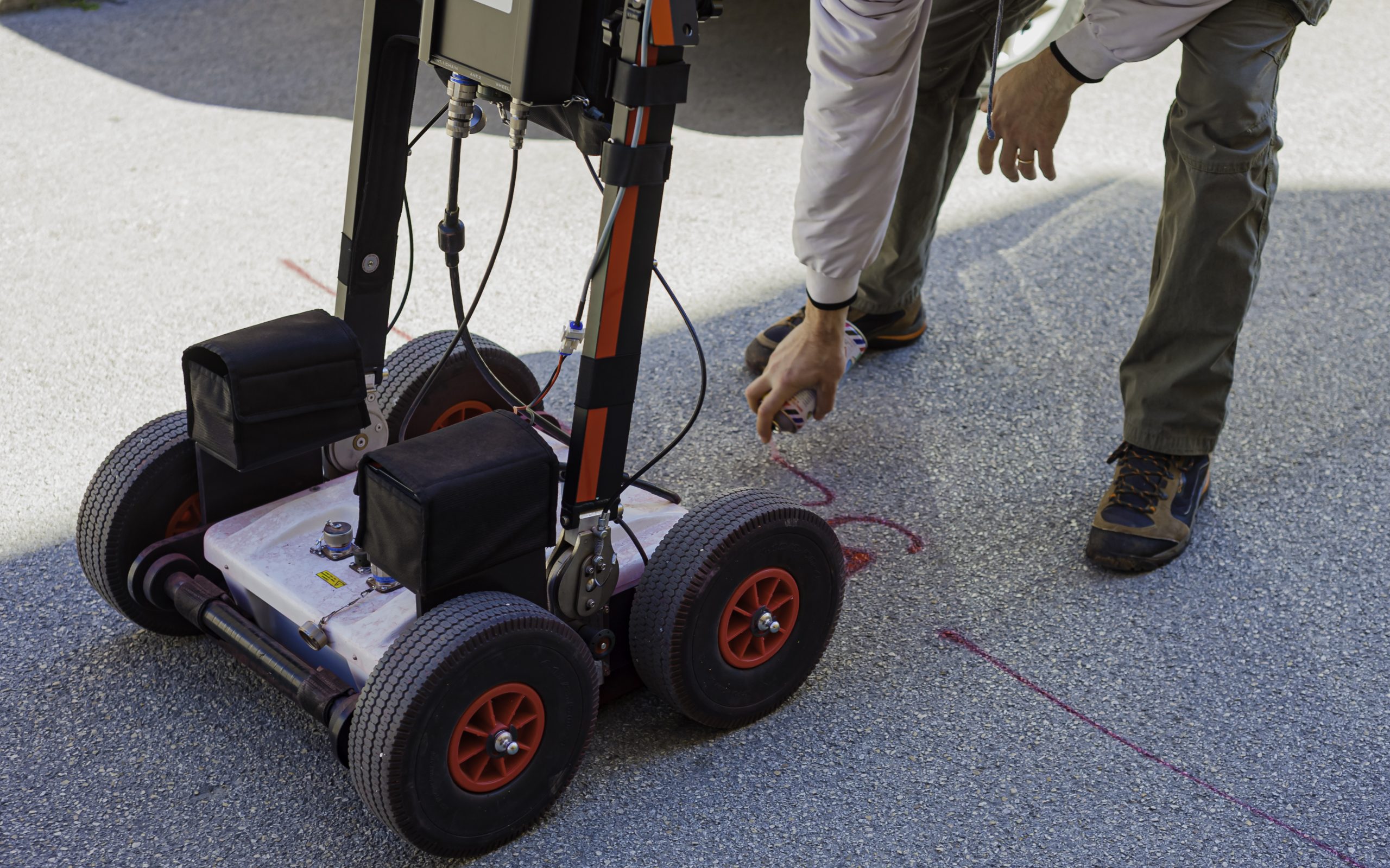
Excavating test pits and/or drill coring to confirm the material profile and layer thicknesses is an important step in pavement evaluation preceding detailed rehabilitation design. However, these investigation techniques are destructive to the pavement, expensive, time consuming and often require traffic management and lane closures. An alternative to these disruptive investigation techniques is ground penetrating radar (GPR), which can generate high-resolution images of the pavement profile by recording the echo of dispersed energy waves. This technique is non-destructive and can also be undertaken at traffic speeds, reducing the need for traffic management, lane closures and increasing safety for operators. This project seeks to assess the potential for implementation of GPR as a pavement evaluation tool, as well as undertaking a critical evaluation of the precision and accuracy of the technology by analysing existing GPR and pavement profile data.

Contact Us
The Western Australian Road Research Innovation Program (WARRIP) is a collaborative research initiative between Main Roads Western Australia (Main Roads) and the Australian Road Research Board (ARRB).

